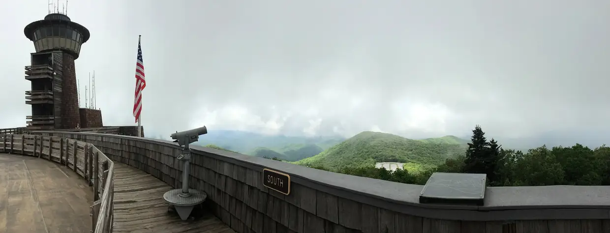
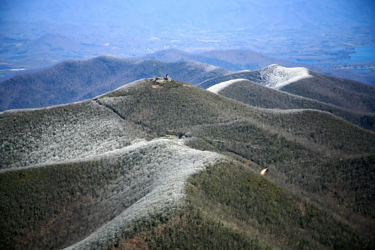
- Brasstown Bald rises 4,784 feet above sea level and is the highest point in Georgia, with a 360-degree view from the summit. U.S. Forest Service
- The Brasstown Bald visitor center is open 7 days a week, 10 a.m. to 5 p.m. All facilities close the Wednesday before Thanksgiving, Thanksgiving Day, Christmas Eve and Christmas Day. U.S. Forest Service
- During open hours the fee is $10 per adult (ages 16+), and children 15 and under get in free. The after-hours fee is $6 per adult. An annual pass costs $40 per person and a Friends and Family pass costs $50 (the holder plus two adults). Interagency passes are accepted. U.S. Forest Service
- A shuttle runs from the parking lot to the summit. The last shuttle up leaves at 4:30 p.m., the last return is at 5:00 p.m., and there is no shuttle from 12:30 to 1:10 p.m. U.S. Forest Service
- A 0.6-mile paved foot trail climbs from the parking lot to the summit. The Forest Service describes it as very steep. U.S. Forest Service
About the fee: some older pages, including a cached copy of the Forest Service’s own page and Explore Georgia, still show $8 per person. The live Forest Service page we read on October 16 says $10 per adult, so budget for that.
Directions from the square
From Blairsville, take US 19/129 south for 8 miles and turn left (east) onto GA 180. After 9 miles, turn left (north) onto GA Spur 180 and go 3 miles to the Brasstown Bald parking lot. That is about 20 miles; allow at least 30 minutes (USFS directions). The Forest Service warns that GPS routing to the summit can be wrong, so follow the road signs for the last stretch.
Trail or shuttle?
The paved trail is short but the Forest Service calls it very steep. If anyone in your group struggles with hills, take the shuttle. It doesn’t run between 12:30 and 1:10 PM, and the last shuttle down is at 5:00 PM, so a late-afternoon arrival leaves little time at the top.
When to go
Clear days are the whole point. If the summit is in cloud, you’ll pay to stand in fog. Check the forecast for the mountain, not for Blairsville, and on a gray day choose one of the lower plans in our cloudy-day guide. The visitor center closes the Wednesday before Thanksgiving, Thanksgiving Day, Christmas Eve and Christmas Day.
Is it in Union County?
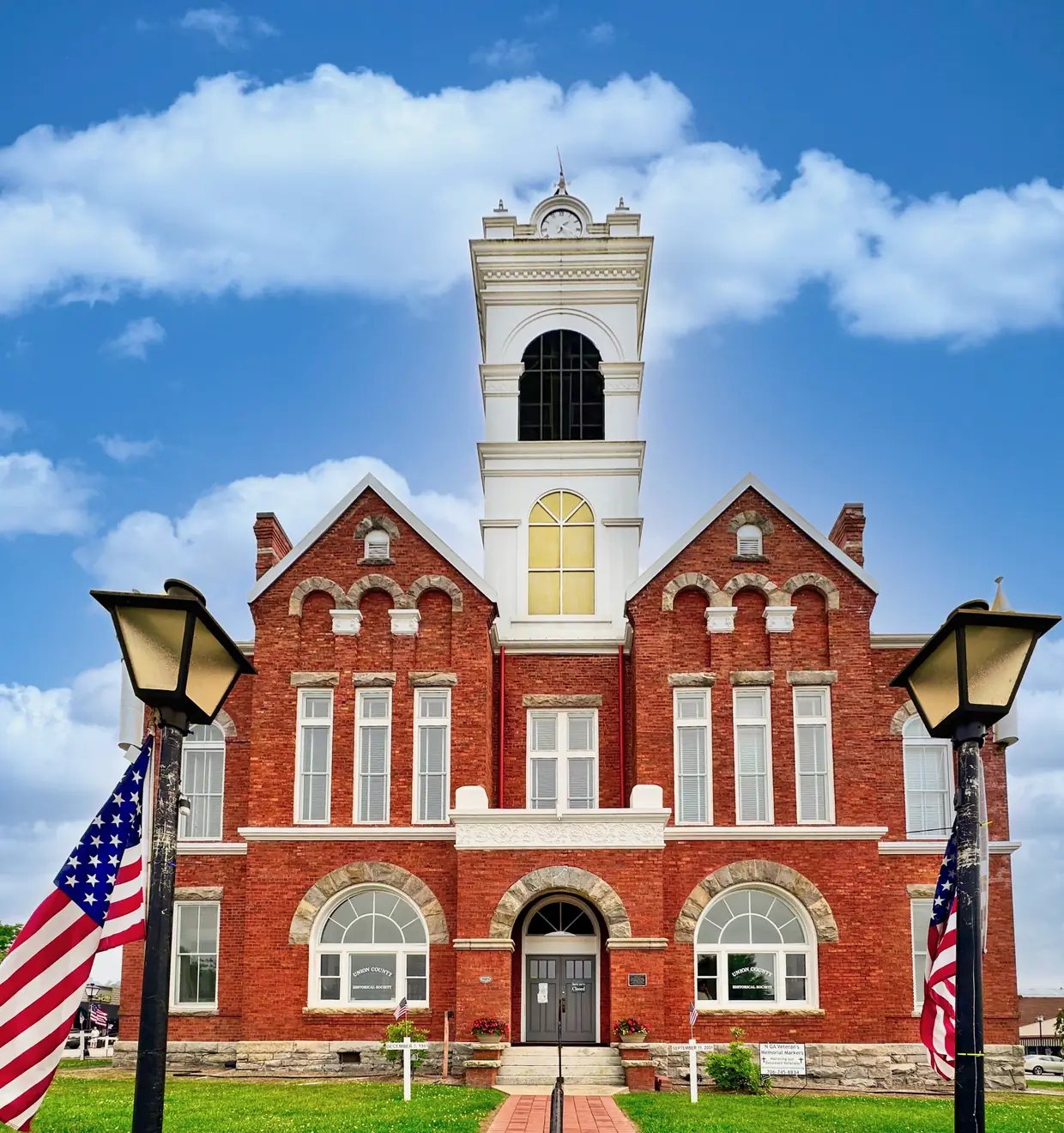
Partly. Union County calls itself ‘The Top of Georgia’ because Brasstown Bald, the state’s highest mountain, rises on its southeastern edge along the Towns County line. The summit itself is in Towns County, on the county line (Union County).
Brasstown Bald questions
How much does Brasstown Bald cost?
The Forest Service's page lists $10 per adult (16 and over) during open hours, free for children 15 and under, and $6 after hours. Some older pages still say $8.
Source: U.S. Forest Service
How do you get to Brasstown Bald from Blairsville?
Take US 19/129 south 8 miles, turn left on GA 180 for 9 miles, then left on GA Spur 180 for 3 miles to the parking lot. Allow at least 30 minutes.
Source: U.S. Forest Service
Is there a shuttle to the top of Brasstown Bald?
Yes. A shuttle runs from the parking lot to the summit; the last one up leaves at 4:30 PM and the last return is at 5:00. It doesn't run from 12:30 to 1:10 PM.
Source: U.S. Forest Service
How long is the walk to the top of Brasstown Bald?
The paved foot trail from the parking lot to the summit is 0.6 mile, and the Forest Service describes it as very steep.
Source: U.S. Forest Service
Dates, hours and fees change. For anything official, the city has the final word: City of Blairsville official site