The lake in numbers
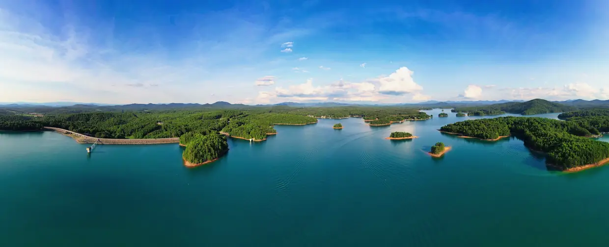
- TVA lists Nottely Reservoir's water surface at 3,970 acres. TVA
- TVA lists 102 miles of shoreline on Nottely Reservoir. Much of the shoreline is national forest land. TVA
- TVA describes Nottely Reservoir as 20 miles long. TVA
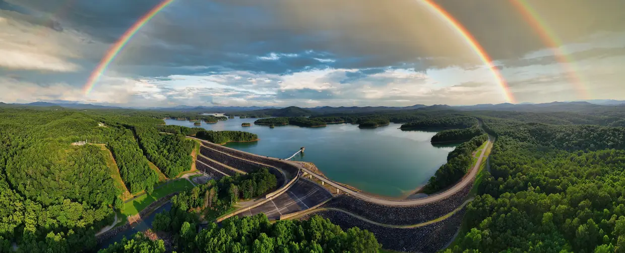
- TVA built Nottely Dam during World War II. Construction began July 17, 1941, the gates closed January 24, 1942, and the dam was completed in 1942. Its one hydroelectric unit, added later, began commercial operation in 1956 and has a net dependable capacity of 18 megawatts. TVA
Why other guides disagree: Wikipedia and many guides give 4,180 acres and 106 miles of shoreline; TVA’s own facts box says 3,970 and 102, and that’s the figure we use. Even TVA’s pages differ on the dam’s size (184 feet high in its history article, 197 feet on its lake-information page).
Getting on the water
Poteete Creek Campground & Recreation Area
County campground / boat ramp / beach on Lake Nottely
1040 Poteete Creek Road, Blairsville, GA 30512
An 88-site campground with power and water at most sites, plus a boat ramp, swimming beach, pavilion and bathhouse.
Source: Union County, checked 2026-10-16
Nottely Boat Club & Marina
Marina (private)
6036 State Hwy 325, Blairsville, GA 30512
A marina on Lake Nottely offering boat rentals (three membership tiers), slips, non-ethanol fuel and a store. It says it was established in 1941 as Terry's Boat Dock, later Cozy Cove Marina, and has had its current ownership since 2014.
Source: Nottely Boat Club & Marina, checked 2026-10-16
North Georgia Watersports – Marina & Rental Center
Boat dealer / marina & rental center
1733 Murphy Hwy, Blairsville, GA 30512 (sales at 1779 Murphy Hwy; service at 2157 Murphy Hwy)
Boat dealer with a marina and rental center serving Lake Nottely, renting pontoons, ski/wake boats, jet skis and kayaks.
Source: North Georgia Watersports, checked 2026-10-16
Poteete Creek’s campground closes for the season after October 15. For a swim, a launch or a picnic later in the year, call the county first: 706-439-6103.
Nottely Dam and the dam trail
TVA describes the Nottely Dam Trail as a figure-8 trail of about two miles at a constant grade, mostly in the woods with sections near the shoreline. (TVA) TVA’s land-management page describes a 2.6-mile moderate-to-difficult trail, which may be the same trail measured differently. The dam is about 11 miles northwest of the square by road (OpenStreetMap routing).
Thinking about a lake lot or a dock?
Two things to check before you fall for a listing. First, TVA lowers Nottely about 20 feet between summer and winter, so a dock that floats in July may sit on mud in January: look at the property in late fall as well as summer, and read TVA’s Nottely page. Second, much of the shoreline is national forest, and TVA sets rules for docks and shoreline work, so confirm what is allowed for that specific lot with TVA before you buy.
Lake Nottely questions
Why is Lake Nottely so low in the fall?
TVA lowers the reservoir for flood storage: in a normal year the level varies about 20 feet between summer and winter.
Source: TVA
Where can I swim or launch a boat on Lake Nottely?
Union County's Poteete Creek recreation area has a boat ramp and a swimming beach, with $5 day-use parking. Its campground is open April 1 to October 15.
Source: Union County
How big is Lake Nottely?
TVA lists 3,970 acres of water surface and 102 miles of shoreline, and describes the reservoir as about 20 miles long. Some guides give 4,180 acres and 106 miles.
Source: TVA
Dates, hours and fees change. For anything official, the city has the final word: City of Blairsville official site