Walasi-Yi and Mountain Crossings
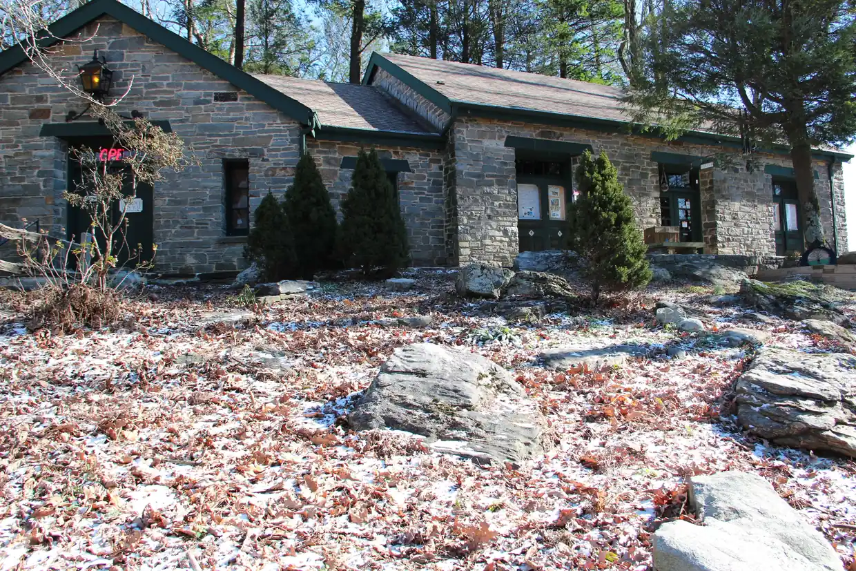
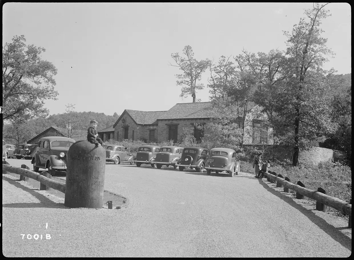
- The stone Walasi-Yi Interpretive Center at Neel Gap was built by the Civilian Conservation Corps, starting in 1934 and finishing in 1937, the same year the Appalachian Trail was completed. It served as a dining hall and inn, and since 1983 it has housed Mountain Crossings, an outfitter and Appalachian Trail store. Mountain Crossings
- The Appalachian Trail passes right through the Walasi-Yi building, through its breezeway. Mountain Crossings calls this the only covered portion of the trail. Mountain Crossings
- Mountain Crossings is at 12471 Gainesville Hwy, Blairsville, GA 30512, about 16 miles south of Blairsville on US 19/129. On the Appalachian Trail it sits 30.7 miles north of Springer Mountain. Mountain Crossings
The “only covered portion of the trail” is Mountain Crossings’ own description, and some hikers would argue the point; either way, walking the A.T. through a stone breezeway is a fine stop. Store hours are listed as 9 to 5 daily and may change with the seasons.
Blood Mountain from the Reece trailhead
- Blood Mountain's summit, at 4,461 feet, is the highest point on the Appalachian Trail in Georgia. Appalachian Trail Conservancy
- From the Byron Herbert Reece Memorial trailhead just north of Neel Gap, the blue-blazed Reece Trail climbs to the Appalachian Trail near Flatrock Gap. From that junction the AT continues 1.5 miles to the top of Blood Mountain. U.S. Forest Service
- The Byron Herbert Reece Memorial trailhead is 13 miles south of Blairsville on US 19/129, just beyond the Walasi-Yi Center. It is free, with 38 spaces maximum and no vehicles over 20 feet. Hikers may not park at the Walasi-Yi Center. U.S. Forest Service
- Black bear encounters are common around Blood Mountain, and the Forest Service requires bear-proof food storage containers. Campers on the stretch between Jarrard Gap and Neel Gap need a hard-sided bear canister, and hanging food bags doesn't count. U.S. Forest Service
- Most of the Byron Herbert Reece Trail, and the summit of Blood Mountain, lie within the Blood Mountain Wilderness, where visitors should expect few signs, structures or blazes. U.S. Forest Service
The Appalachian Trail Conservancy reported in June 2026 that the Forest Service rerouted part of the Reece Trail. Follow the trailhead signs and current blazes rather than an older trail map.
Blairsville and the trail
Blairsville was named an official Appalachian Trail Community in 2011, and it was recognized as a Georgia Better Hometown in 2007. (City of Blairsville) The Appalachian Trail begins at Springer Mountain (3,782 feet) and runs about 76 to 78 miles through Georgia, crossing five federally designated wilderness areas. (USFS)
Neel Gap questions
Where do I park for Blood Mountain?
At the Byron Herbert Reece Memorial trailhead, 13 miles south of Blairsville on US 19/129, just beyond the Walasi-Yi Center. It's free, with 38 spaces; hikers may not park at Walasi-Yi.
Source: U.S. Forest Service
Does the Appalachian Trail go through a building at Neel Gap?
Yes. The trail passes through the breezeway of the stone Walasi-Yi Center, built by the CCC in the 1930s and now home to the Mountain Crossings outfitter.
Source: Mountain Crossings
How tall is Blood Mountain?
The Appalachian Trail Conservancy gives 4,461 feet, the highest point on the A.T. in Georgia. Some other sources say 4,458.
Source: Appalachian Trail Conservancy
Dates, hours and fees change. For anything official, the city has the final word: City of Blairsville official site