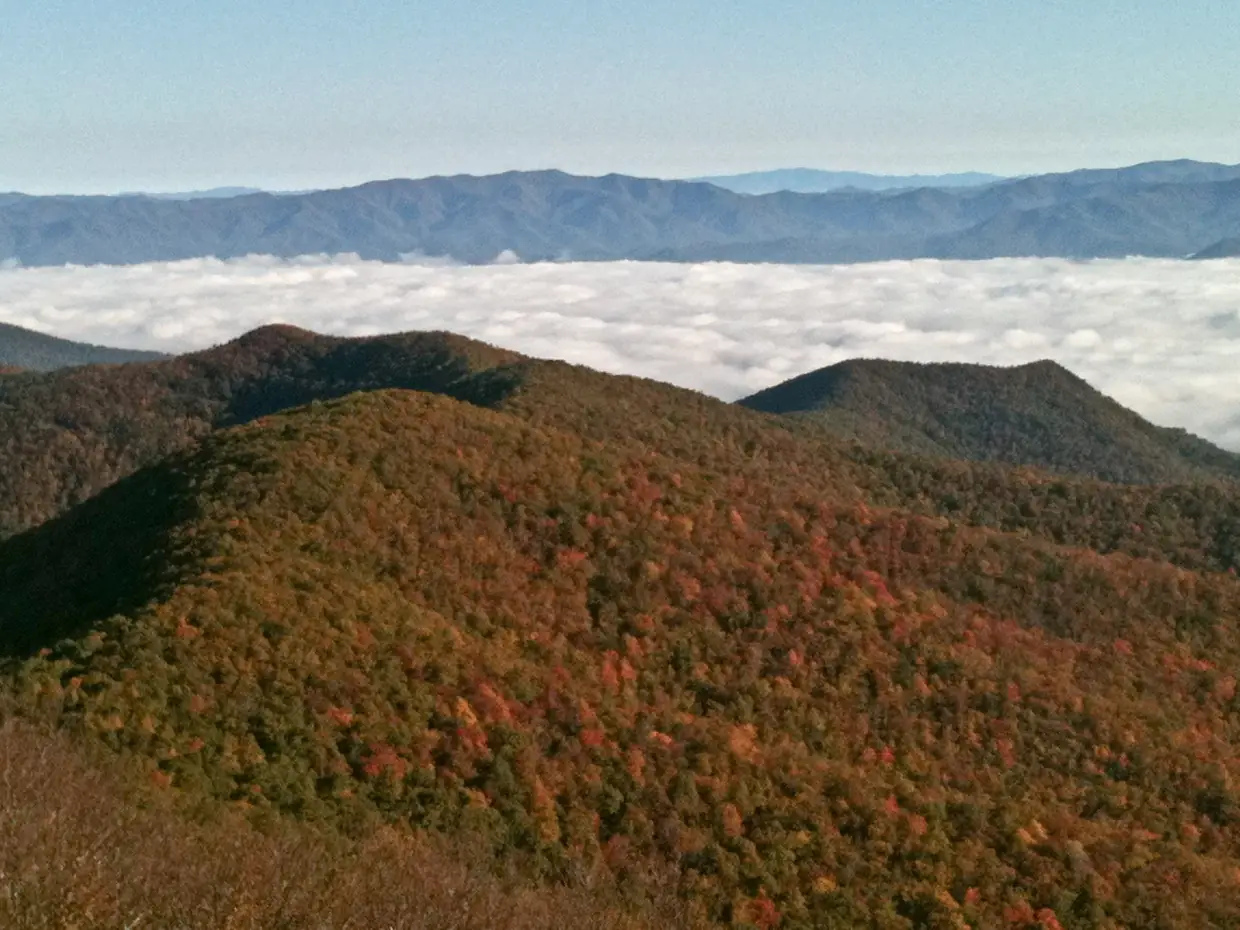
Here’s the rule: if the mountaintops are buried in cloud when you leave Blairsville, don’t spend the morning driving up Brasstown Bald. The summit is about the view, and on a socked-in day the observation deck looks out at white. Save it for a clear day and pick a plan that works in fog.
Why the view is the whole point
The Forest Service lists Brasstown Bald at 4,784 feet, the highest point in Georgia, with a 360-degree view from the summit. Union County calls itself “The Top of Georgia” because of it, although the summit itself is in Towns County, right on the Union County line. People go for the view, so the weather decides whether the trip pays off.
The basics for a clear day
| Item | Per the USFS page |
|---|---|
| Hours | 10 a.m.–5 p.m., seven days a week |
| Closed | Wednesday before Thanksgiving, Thanksgiving Day, Christmas Eve, Christmas Day |
| Fee | $10 per adult 16 and up; 15 and under free; $6 per adult after hours |
| Shuttle | Last ride up 4:30 p.m.; last return 5:00 p.m.; no shuttle 12:30–1:10 p.m. |
| On foot | 0.6-mile paved trail that the Forest Service calls very steep |
| Directions | US 19/129 south 8 miles; left (east) on GA 180 for 9 miles; left (north) on GA Spur 180 for 3 miles to the parking lot |
Older web pages list an $8 fee. The live USFS page says $10, and the Forest Service page is the authority. Annual passes ($40, or $50 for the Friends and Family pass) and interagency passes are accepted, and pass questions go to (706) 896-4137. The USFS also warns that GPS units can put the mountain in the wrong place, so follow its written directions. More detail is on our Brasstown Bald guide.
How to judge the clouds
This guide doesn’t point to a special summit forecast. Check an ordinary weather forecast for the mountains the night before and again in the morning, then look at the ridgelines from town. If the high tops are hidden, assume the summit is too. A webcam can help if you find a current one, but check its timestamp before trusting it.
Lower plans that still work in fog
Helton Creek Falls
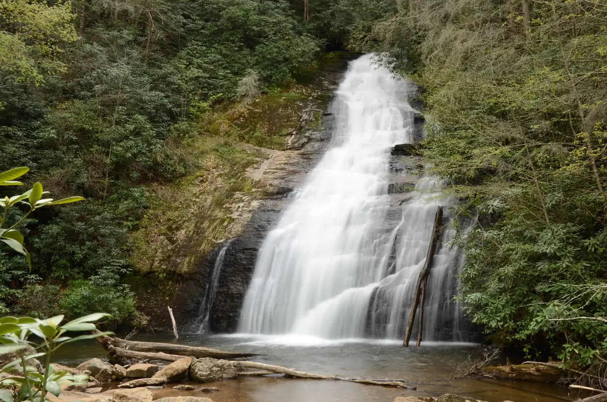
The Forest Service rates this an easy 0.2-mile walk with “many abrupt changes in grade,” ending at an observation deck. It’s free and open all year, with no restrooms or drinking water. From Blairsville, take US 19/129 south 11 miles, turn onto Helton Creek Road just past the Vogel State Park entrance, and go 2.2 miles to a small pullout; the trailhead is on the right. Falling water doesn’t need a long view. Stay on the trail and the deck, as the USFS asks.
Sosebee Cove
Sosebee Cove Scenic Area is a 175-acre, north-facing cove forest known for very large yellow poplars and yellow buckeyes, and for spring wildflowers. It’s free, open year-round and has no water. The USFS directions: US 129/19 south about 9.5 miles, right (west) on GA 180, then two miles to the parking area on the right. Big trees in mist make a good trade for a summit view.
The Old Courthouse Museum
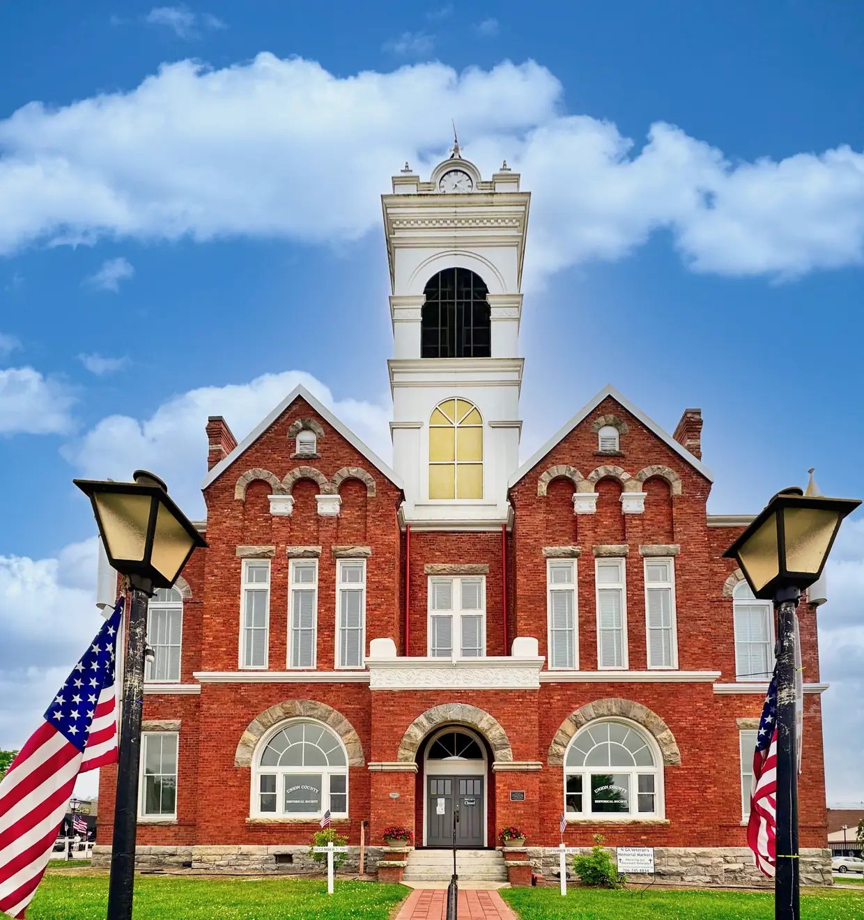
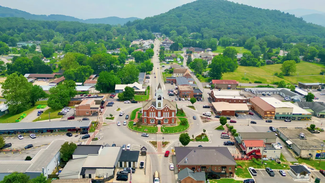
Back on the downtown square, the 1899 courthouse is the Union County Historical Society’s free museum, with a donation appreciated. The Historical Society lists hours of Monday to Friday, 10 a.m. to 4 p.m., and from May through December also Saturday, 11 a.m. to 3 p.m.
The Mountain Life Museum
One block south of the square at 25 Veterans Memorial Drive, the Historical Society’s Mountain Life Museum includes the 1906 Grapel Mock House and the 1861 Payne Cabin. The grounds are free to walk. Building tours are $5 per person (12 and under free) Thursday through Saturday, May through December. The Society doesn’t post tour times, so call (706) 745-5493.
Two places to skip for now
- Vogel State Park’s Lake Trahlyta is drained for dam repairs, according to Georgia State Parks, and the Lake Trahlyta Loop Trail and Trahlyta Falls are closed. No reopening date is posted. The rest of the park is covered in our Vogel State Park guide.
- Track Rock petroglyphs are temporarily closed, per the Forest Service’s August 2026 update. The nearby Arquaqua Trail parking area and trailhead remain open.
For more fog-friendly ideas, see our waterfalls page.
Questions people ask
How much does it cost to visit Brasstown Bald?
The Forest Service's current page lists $10 per adult (16 and up) during open hours, free for children 15 and under, and $6 per adult after hours. Some older pages say $8; the live USFS page is the authority.
Source: USDA Forest Service – Brasstown Bald Visitor Information Center
What are Brasstown Bald's hours?
The visitor center is open seven days a week, 10 a.m. to 5 p.m., and closes the Wednesday before Thanksgiving, Thanksgiving Day, Christmas Eve and Christmas Day. The last shuttle up leaves at 4:30 p.m., and there's no shuttle from 12:30 to 1:10 p.m.
Source: USDA Forest Service – Brasstown Bald Visitor Information Center
Is Brasstown Bald in Union County?
Not quite. Union County calls itself the Top of Georgia because Brasstown Bald rises on its southeastern edge, but the 4,784-foot summit sits in Towns County, on the Union County line.
Source: Union County, GA – History
What can I do near Blairsville on a foggy day?
Pick a plan that doesn't depend on a view. Helton Creek Falls is an easy, free 0.2-mile walk to an observation deck, open all year, about 11 miles south of Blairsville on US 19/129 and then 2.2 miles up Helton Creek Road.
Written by the Downtown Blairsville Editorial Team. AI tools help us draft; people check every fact before it publishes.
Dates, hours and fees change. For anything official, the city has the final word: City of Blairsville official site